We enjoyed our final runs in Eugene on Monday morning before packing up and heading to the airport to pick up our rental car for the second half of the trip when we would be on our own without the Dallas girls. Turns out that the Eugene airport was ill-equipped to handle all of the departing athletes and visitors on the morning after the Championships concluded. Thankfully, we had no pressing time commitments to be concerned about, and we eventually got on our way to Bend in the early afternoon.
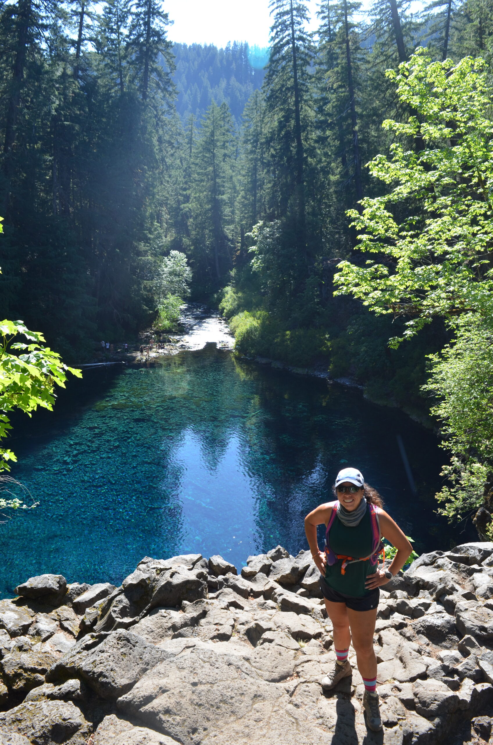
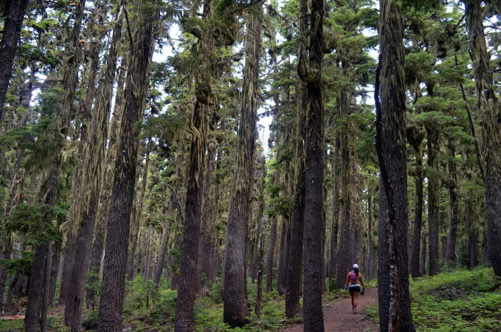
We made a pit stop at Bridge Reservoir in McKenzie Bridge for a hike to the Blue Pool (also known as Tamolitch Blue Pool or Tamolitch Falls) in the afternoon (4.2 miles round trip, 300 feet elevation gain). The trail started out easy enough on a nice dirt path through tall trees.


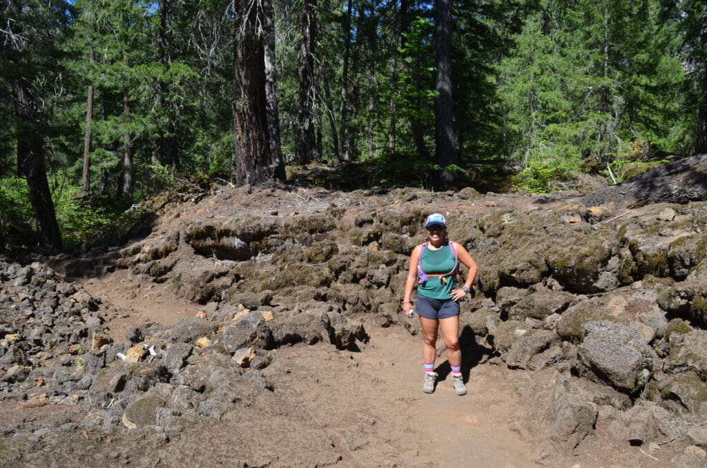
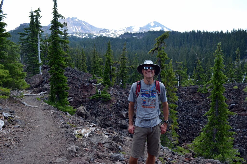
But, then we crossed through a rocky, lava field (triple digit temps heated up the black lava rocks so it was toasty to walk through).
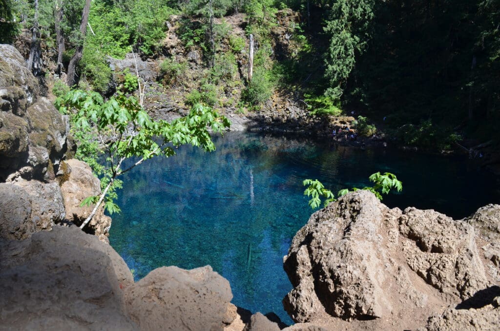
We eventually arrived at an overlook of the Pool, and we couldn’t believe how clear and blue the water was!

Eager to cool down, we decided to continue on to head down to the water itself. Not so fast! It wasn’t that easy. We passed multiple groups of individuals all looking for the trail down to the pool, and it took a lot of trial and error before we finally stumbled upon a path. However, I thought it looked like more than I wanted to take on, so I decided to stay at the upper level while Kurt headed down with a pack of people. While I was waiting at the top, I saw a young girl and her mom returning from the pool, and I overheard their conversation about worry, fear, and anxiety. The young girl gave me a pep talk and assured me that I was “so close” and “almost there,” and I decided that if she could do it in spite of her fears, then so could I.
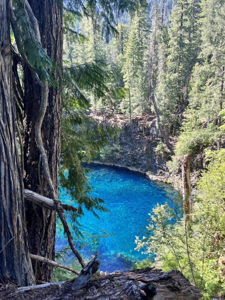
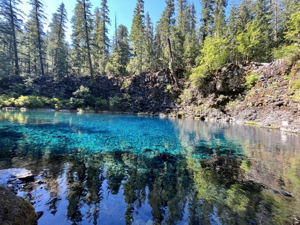
I surprised Kurt as he was ascending back from the pool that I had made it that far on my own, so then we both went the final stretch together. Unlike at Crater Lake, neither of us jumped into the water this time, as the water is even colder (around 40 degrees).
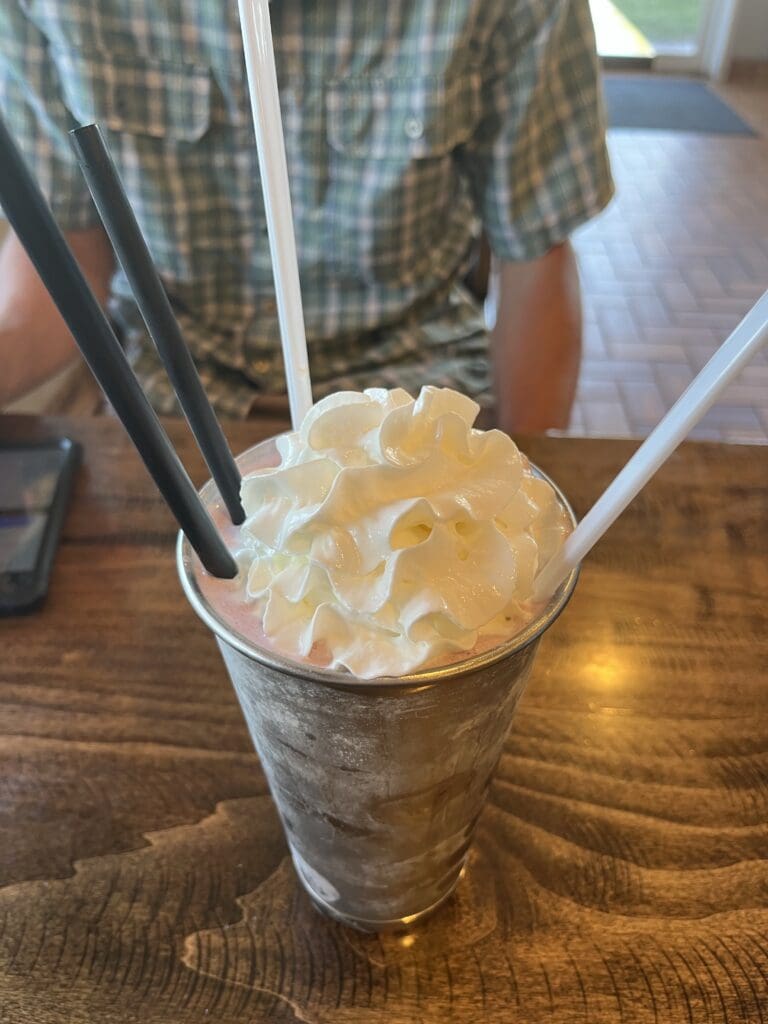
Our afternoon excursion was more than we expected, so we arrived in Bend hungry for dinner. We stopped for a quick bite at Bend Burger Company as we drove into town (pro tip: Get a shake! They are inexpensive, delicious, and large enough to share).
Then, we got settled in at our condo for the week. We were in a great location at Pioneer Park on Mirror Pond, which provided easy access to the running path and restaurants/breweries a few blocks away. Unfortunately, triple digit temperatures were forecast all week in Bend, which is not what I envisioned when I planned this part of the trip. It meant early starts for running, early closures for some facilities, and limited outdoor dining at restaurants.
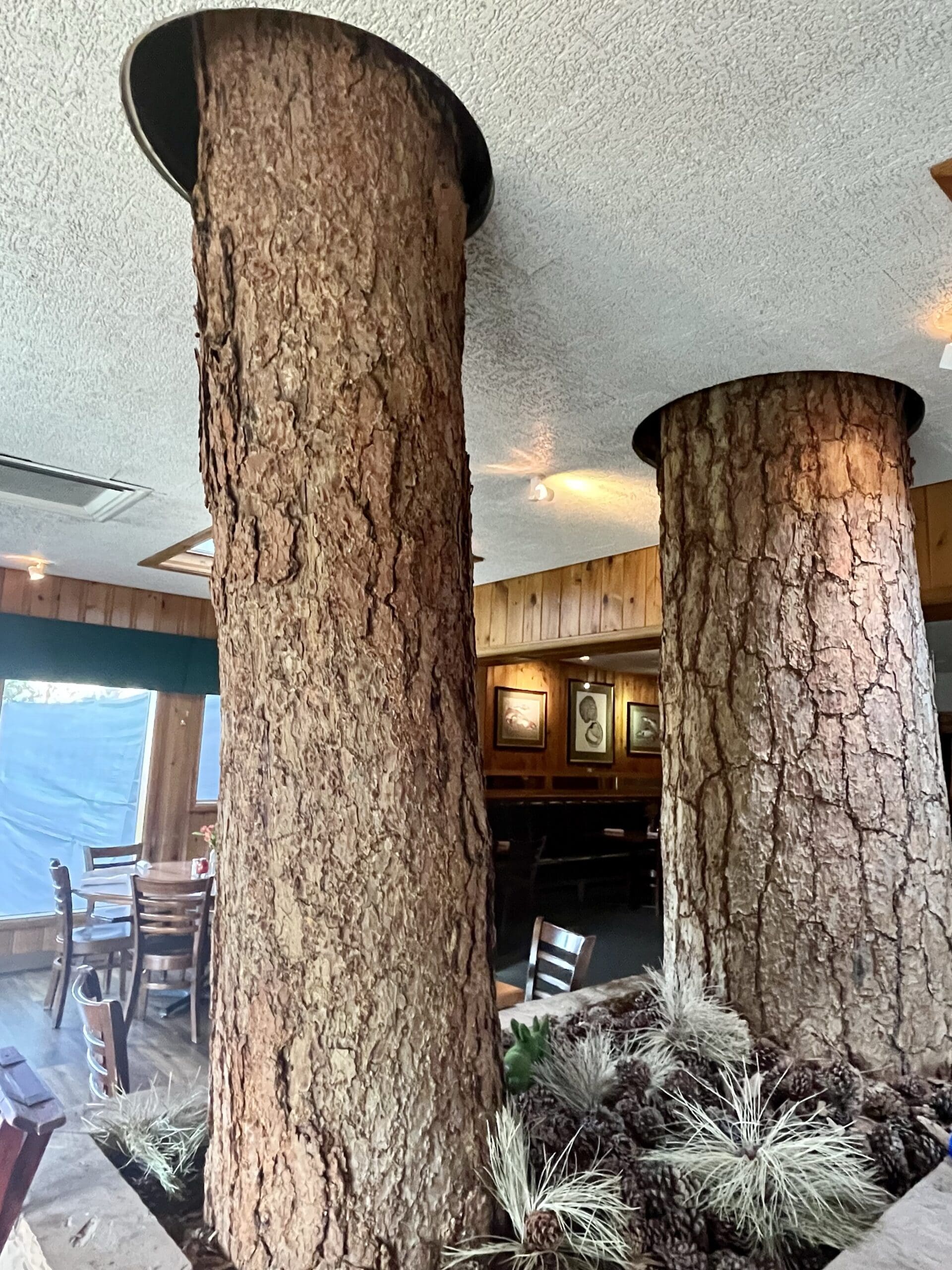
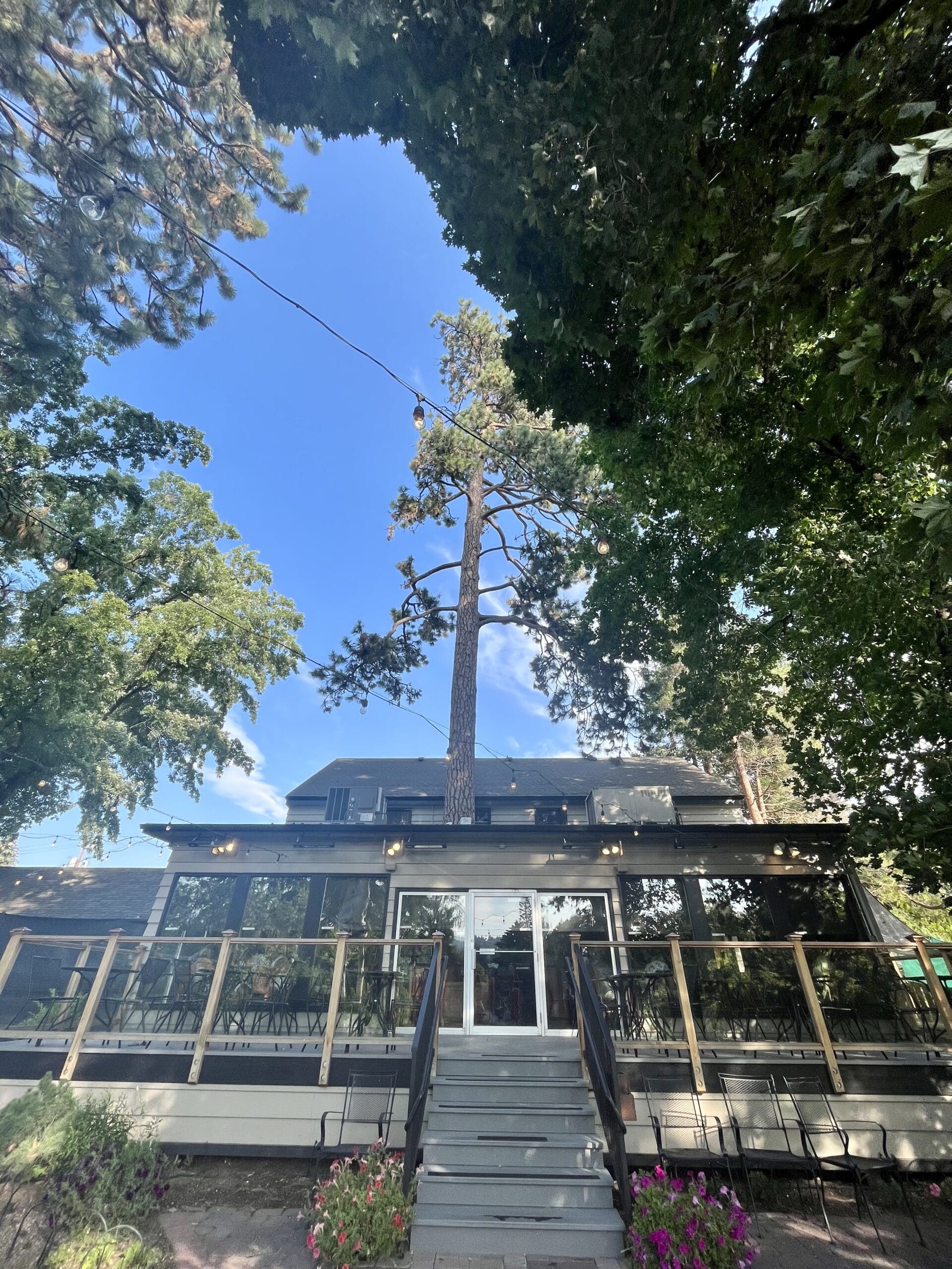
Kurt worked remotely all week, so we didn’t do much during the days. We also both needed to recover from all of the excitement and limited sleep of the previous week. On Tuesday, we walked to the Pine Tavern Restaurant for dinner on recommendation of a local Oregonian we met in Eugene last week. It is one of Bend’s older restaurants, and it features a giant Ponderosa pine tree growing in the middle of the dining area.
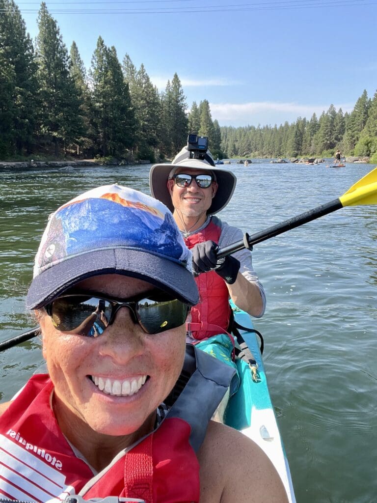
Wednesday afternoon we took to the Deschutes River to escape the heat like all of the locals! We rented a tandem kayak from Tumalo Creek for two hours, and we quickly realized that we were working much harder than most folks on the river who were floating downriver in tubes while we were paddling upriver to our turnaround point.
We worked up an appetite though, and we headed to Bend Brewing Company for food and drinks. We enjoyed the large lawn seating area along the river with live music while we waited for our table.
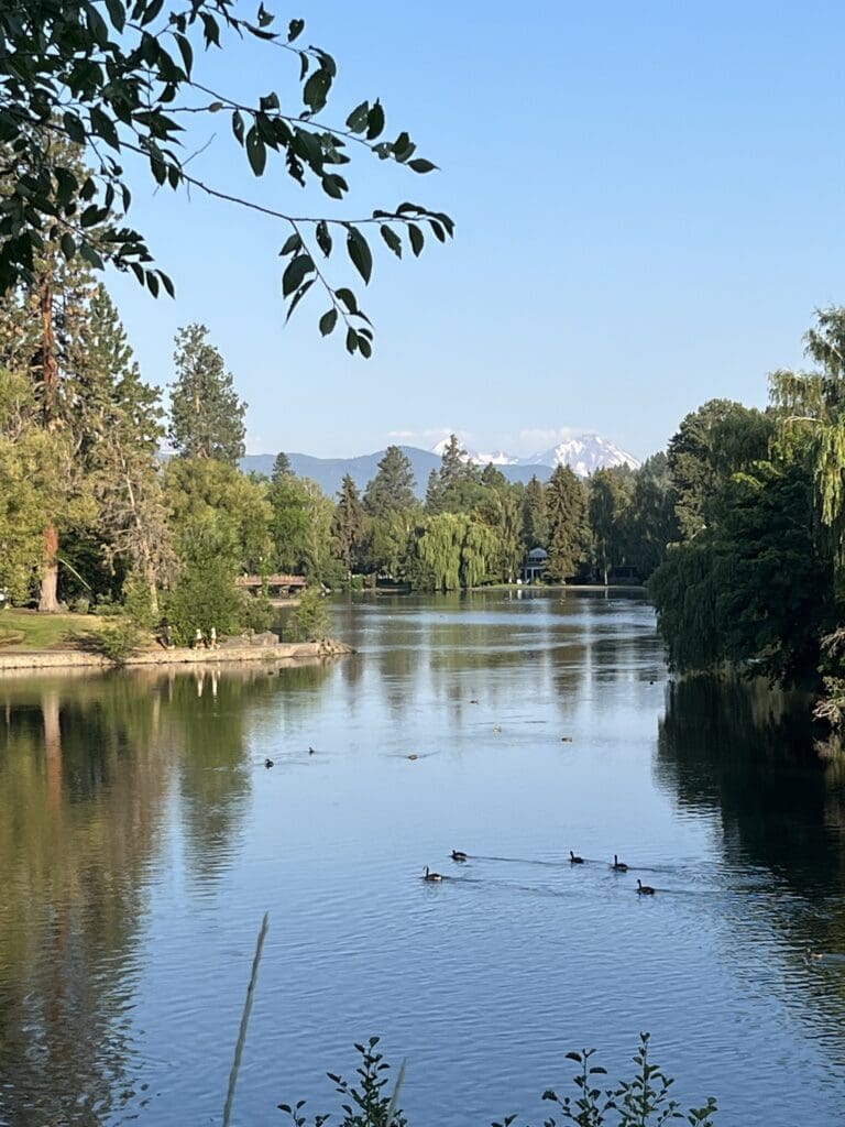
I finally got out for a run on Thursday morning. To my surprise, the riverfront trail system wasn’t completely connected, which resulted in having to cross and run on streets in between sections. It was still nice to run somewhere new, and Kurt enjoyed all of his runs here this week.
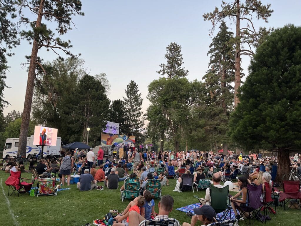
We walked back over to Drake Park for the local outdoor summer concert series, Munch & Music, in the evening. A Journey cover band was the headliner for the event. It was a beautiful setting along the river to enjoy the local food and beer vendors and to sing along with some familiar tunes.
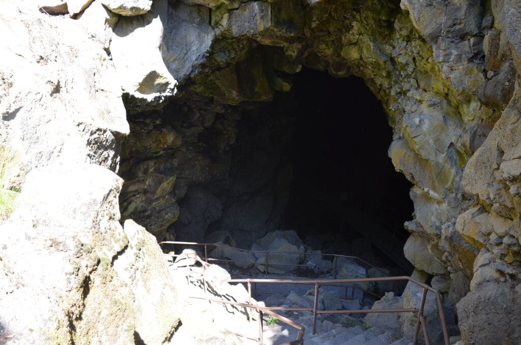
Where do you go to cool down when the weather is this hot? Underground! Due to the intense heat, the Lava River Cave, part of the Newberry National Volcanic Monument, closed early at noon all week. So, we headed out on Friday morning to the cave, which is located about 20 minutes south of Bend. Visitor entry is limited and closely monitored, and we had to wait in our car for about 40 minutes before we could enter the parking lot due to capacity issues. After a brief safety talk and equipped with our headlamps, we finally descended into the cave.
Unlike other caves that we have toured, this one had absolutely no light sources in it whatsoever (flashlights were available to rent at the entrance). The uneven terrain was difficult for me to navigate in the dark (2.2 miles roundtrip).


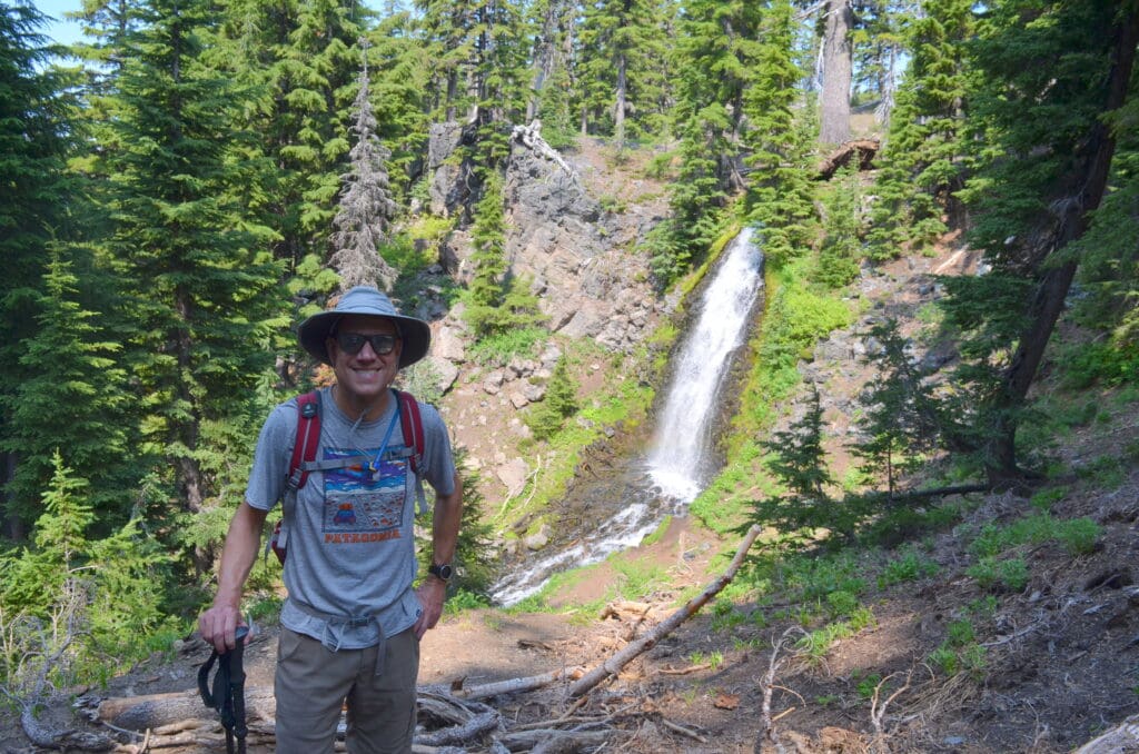
In the afternoon, we drove about 30 minutes west of Bend to Tumalo Falls, a 97-foot waterfall in the Deschutes National Forest. After driving 2.5 miles on a gravel road, we were greeted with a view of the waterfall without having to do much hiking. The waterfall is easily seen from a viewpoint at the level of the parking lot, but we also opted to hike about a quarter of a mile uphill to the upper viewpoint. From there, we had a birds eye view of the falls. We also bushwhacked a short way on the trail to the lower falls.


We had dinner at Monkless Belgian Ales, a craft brewery in the Old Mill District. Despite the heat, we sat outside overlooking the Deschutes River and watched the rivergoers float downstream. Belgian beers are a favorite of Kurt’s, and he really enjoyed the Trinity beer. Pro tip: Get the brussel sprouts (with goat cheese and bacon, yum).
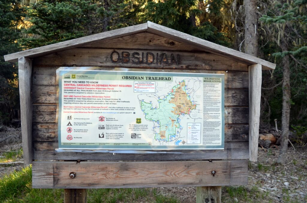
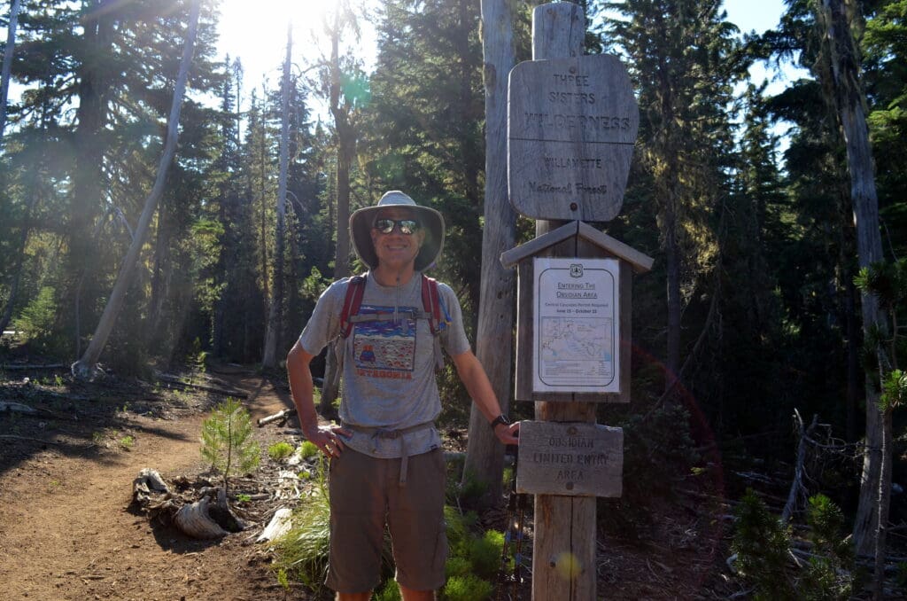
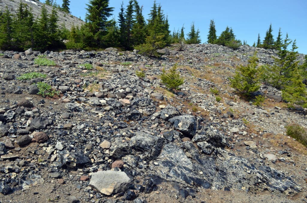
The grand finale of our trip was hiking the Obsidian Trail on Saturday. Thankfully, I had done enough pre-trip research to know that a Central Cascades Wilderness Permit is required to hike from select trailheads in Three Sisters Wilderness from June 15th to October 15th. However, I hadn’t done enough research on exactly which trail that we were interested in hiking (because I honestly didn’t think that I would be lucky enough to have a choice with availability). But, I woke up early last week while we were at Crater Lake and tried my luck with Recreation.gov when the permits opened, and to my surprise, I was able to secure a hiking permit. I randomly chose the Obsidian Trail because Kurt had mentioned that he wanted to see obsidian. This particular trail is limited to use by 30 people per day, so I felt like I won the lottery!
But, before we arrived at the trailhead on Saturday morning, we enjoyed the scenic drive on The McKenzie Highway, which is part of the McKenzie Pass – Santiam Pass National Scenic Byway. We stopped at Dee Wright Observatory located at the summit of McKenzie Pass in order to take in the views of the surrounding mountains and extensive lava fields.


The Three Sisters are a trio of volcanic peaks over 10,000 feet. Part of the Cascade Volcanic Arc and the Cascade Range located in the Three Sisters Wilderness, Three Sisters were known to the pioneers as Faith (North Sister), Hope (Middle Sister), and Charity (South Sister). Some of the lesser peaks are named Husband, Wife, and Little Brother, which we found amusing.
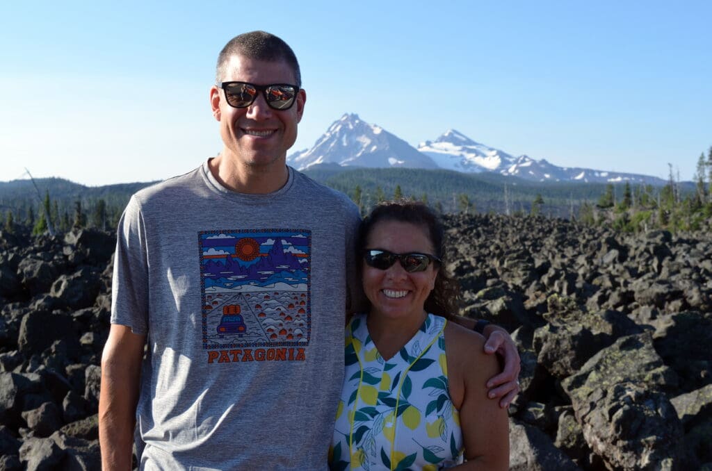
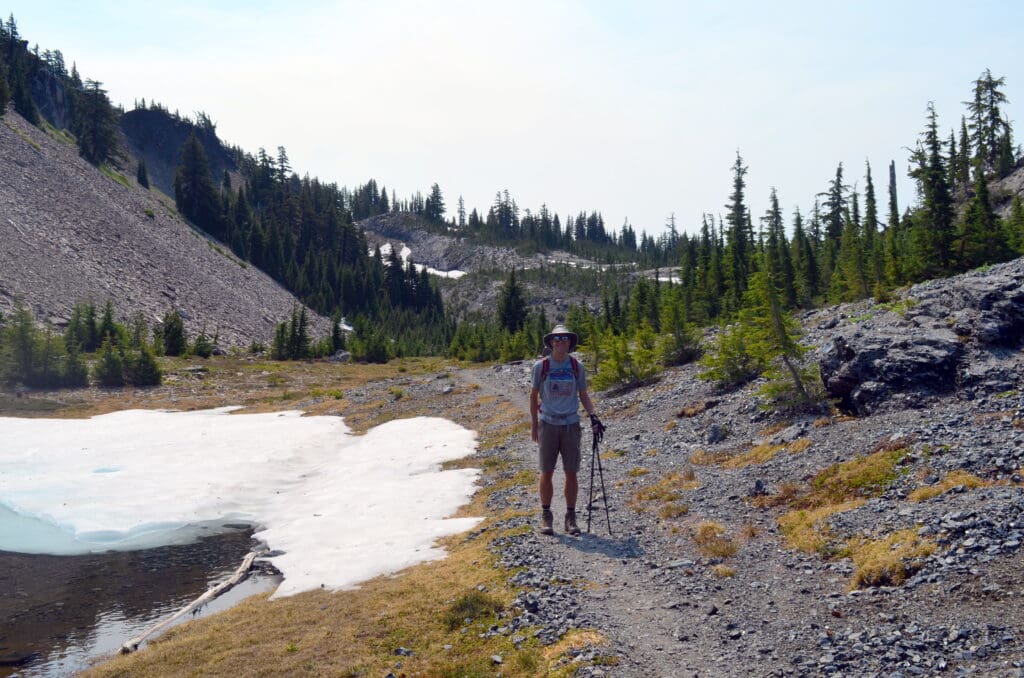
Upon arrival at the trailhead, we were surprised to see a woman from the U.S. Forest Service set up checking to ensure that all hikers had the necessary permit to be on the trail (when we arrived, she was turning away a man who was unaware of the permit system). Since the trail access was so limited, we enjoyed the solitude of the trail for most of our hike.
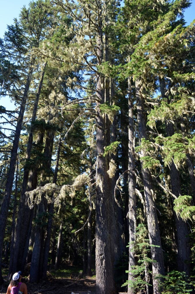
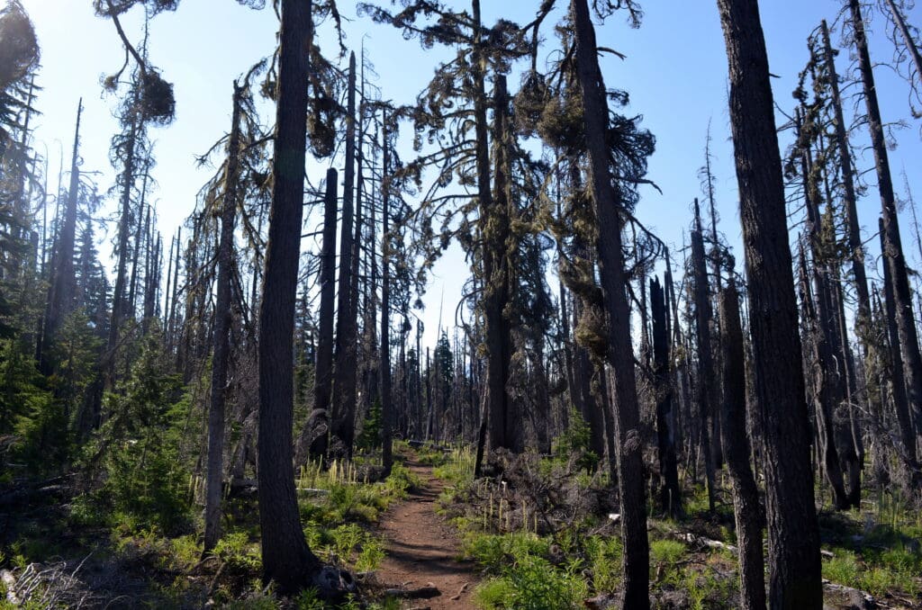
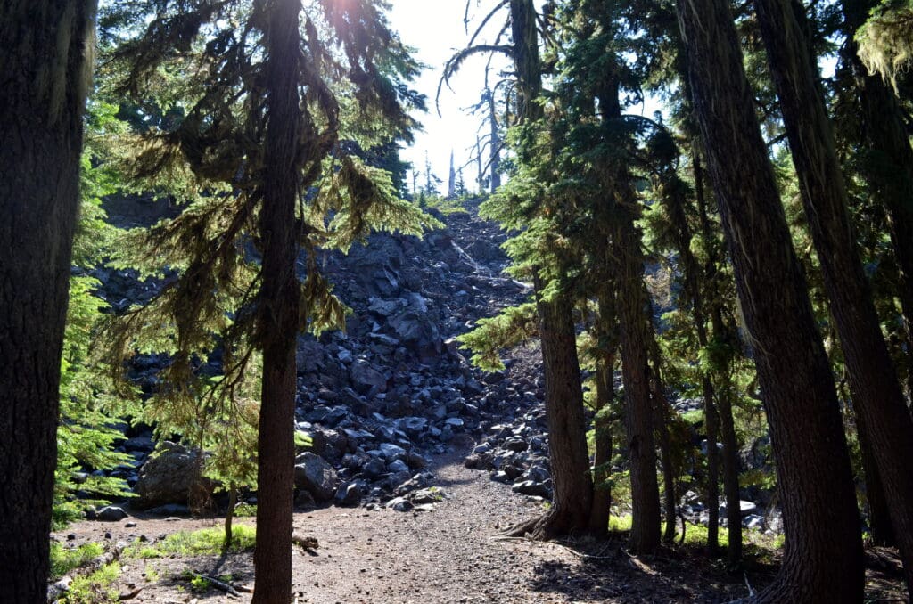
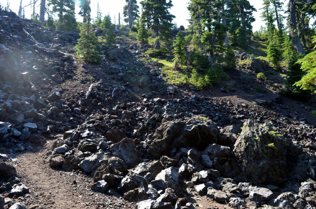
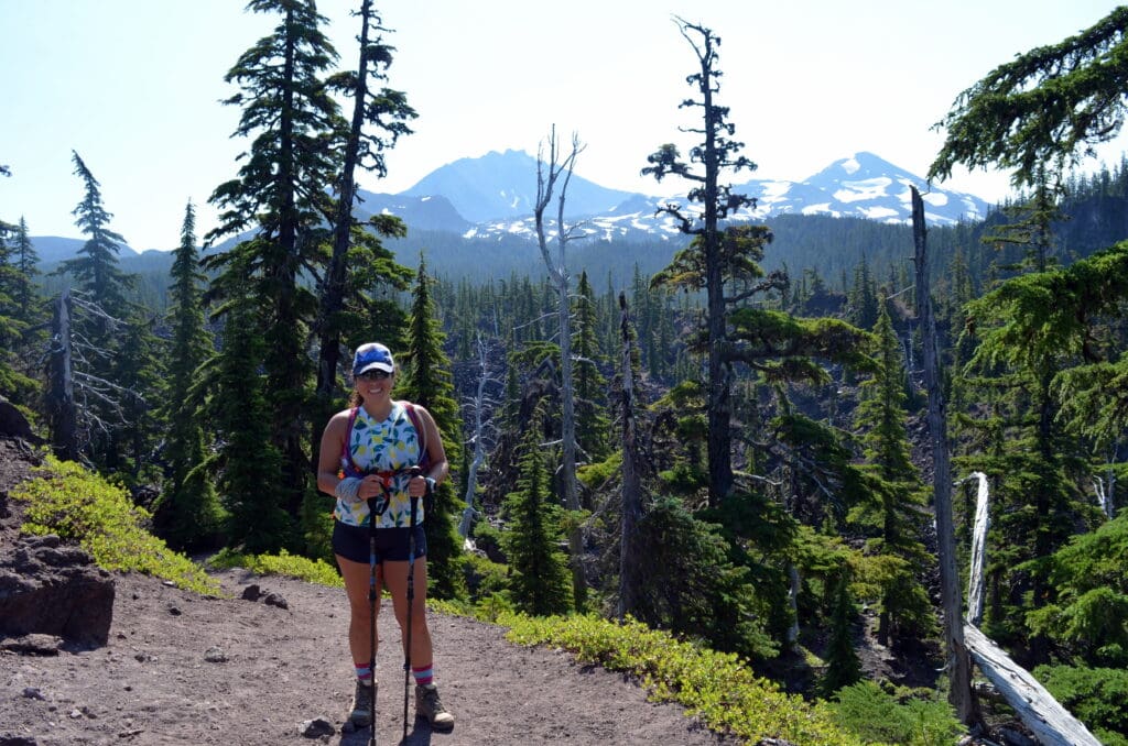
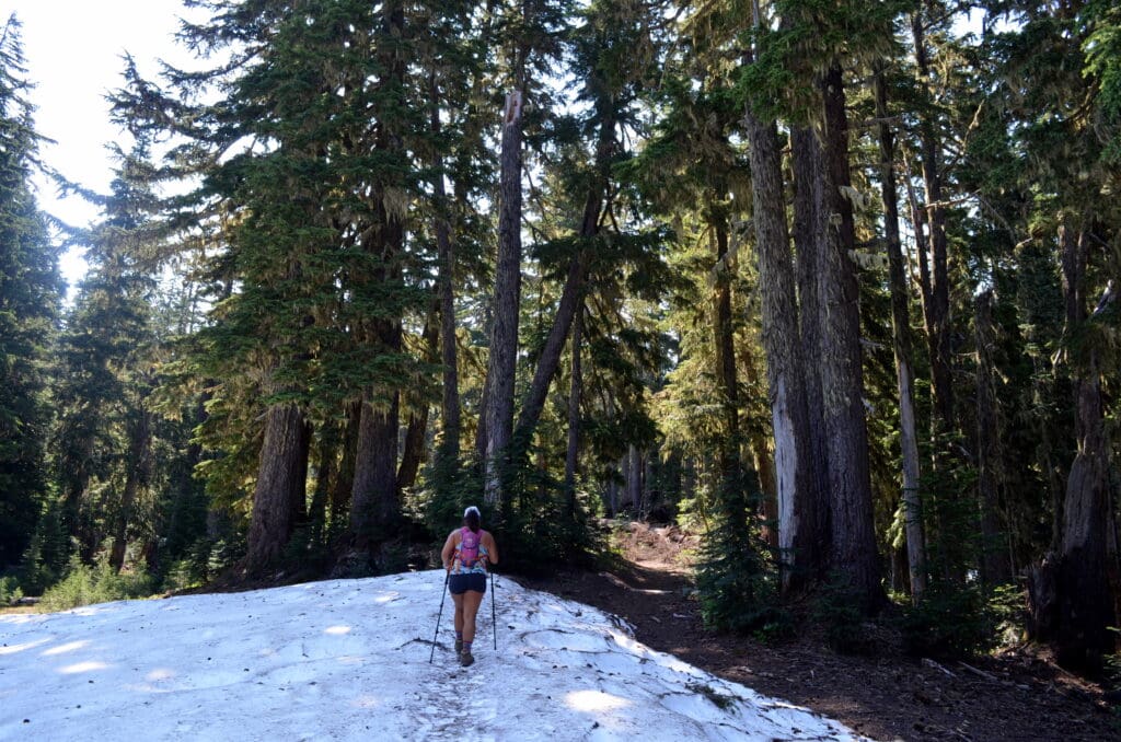
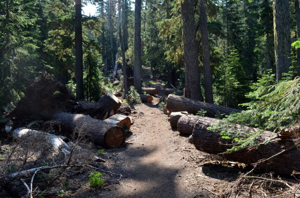
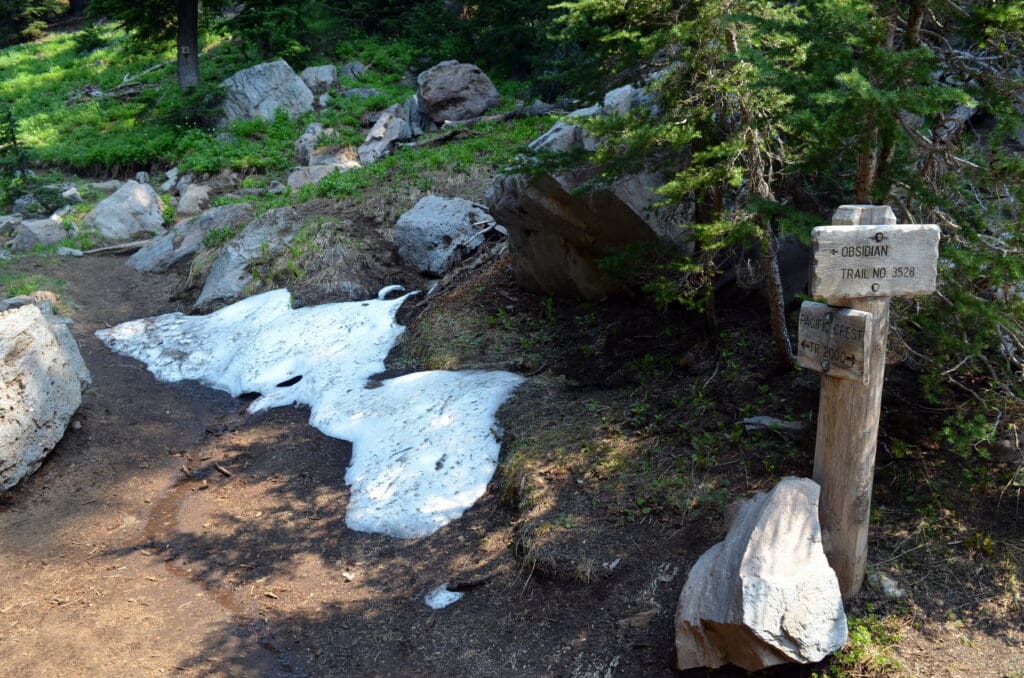
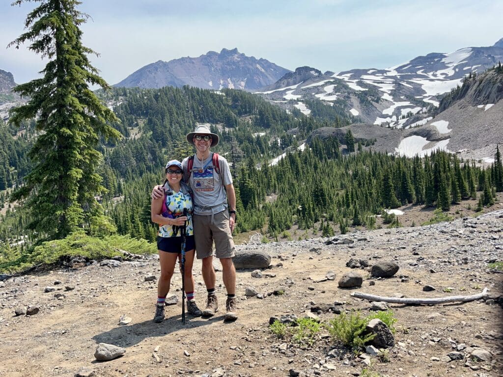
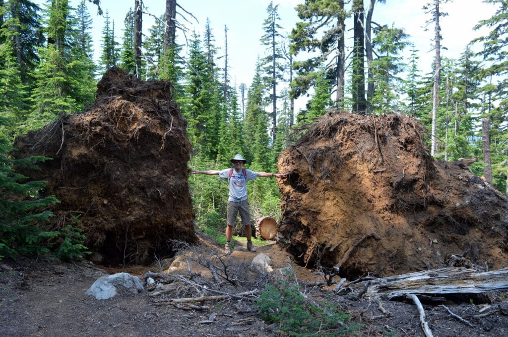
To my delight, this turned out to be a gem of a hike (11.5 miles, 2,100+ feet elevation gain). Recent reviews had indicated that snow patches remained on parts of the trail, but thankfully, they weren’t anything that we couldn’t manage. Bug spray was a necessity and worked to keep us from sustaining too much damage from mosquitoes. The trail wasn’t overly technical, steep, or rocky (well, other than the section crossing through a volcanic lava field). In fact, I think that PNW trails might just suit me with their tall trees providing shade, easy dirt surface, and beautiful views. Our hike merged onto the Pacific Crest Trail for a couple of miles. And, we stopped for lunch on the PCT with a view of the North and Middle Sisters.
On our way back to Bend, we stopped for replenishment at Sisters Bakery. SO many delicious options!
And, just like that, it was time to pack up and get ready for a 3-hour drive back to Portland early on Sunday morning for our flight home. When we returned to the heat in Austin later that afternoon, I exclaimed to Kurt that it felt like Bend!

Looks like a beautiful and fun filled trip!